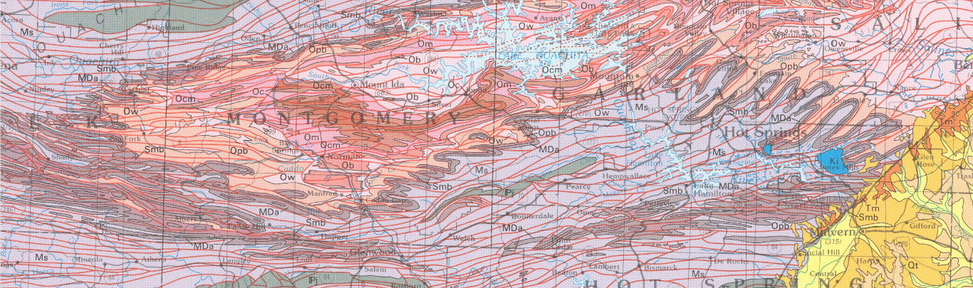
Geologic Map of the Batesville Manganese District and surrounding area with emphasis on the Cason Formation, Independence, Izard, Sharp, and Stone Counties, Arkansas (West Part)
| AGC/AGS Series | Digital Geologic Maps |
| Number Series | DGM-AR-BMD-W-001 |
| Title | Geologic Map of the Batesville Manganese District and surrounding area with emphasis on the Cason Formation, Independence, Izard, Sharp, and Stone Counties, Arkansas (West Part) |
| Author (s) | Angela K. Chandler, Richard S. Hutto, Thomas J. Liner, Scott M. Ausbrooks, Ciara M. Mills, and John T. Gist |
| Date | 2022 |
| Scale | 1:24,000 |
| General Description |
This map depicts the surface geology in an area of north-central Arkansas known historically as the Batesville Manganese District. It comprises several 7.5-minute series topographic quadrangles including the Guion, Mount Pleasant, Sandtown, and Cave City, and portions of the Bethesda, Batesville, Sulphur Rock, Charlotte, and Grange. This area highlights the outcrop belt of the Cason Formation which was mined historically for phosphate and manganese. It has become the subject of renewed interest due to recent analyses indicating that it contains a significant percentage of rare earth elements (Emsbo et al., 2015; Grosz et al., 1995). |
| Availability | Yes. Paper copy or free download. |
| Price | Paper copy is $60.00 or download map for free. |
| Shipping and handling | Contact Sales Office at (501) 296-1877, for shipping and handling charges. |
| Online Version |
Download PDF |