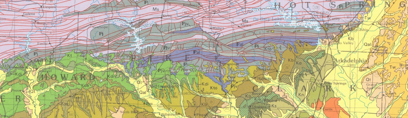
| DGM-OMR-001 |
Geologic Map Of The Ouachita Mountain Region And A Portion Of The Arkansas Valley Region In Arkansas |
| DGM-LRSIX-002 |
Geologic Map Of The Metropolitan Little Rock, Arkansas Area |
| DGM-HSR-003 |
Geologic Map Of The Hot Springs North, Hot Springs South, Fountain Lake, And Lake Catherine Quadrangles, Garland, Hot Spring And Saline Counties, Arkansas |
| DGM-AR-BMD-W-001 |
Geologic Map of the Batesville Manganese District and surrounding area with emphasis on the Cason Formation, Independence, Izard, Sharp, and Stone Counties, Arkansas (West Part) |
| DGM-AR-BMD-E-002 |
Geologic map of the Batesville Manganese District and surrounding area with emphasis on the Cason Formation, Independence, Izard, Sharp, and Stone Counties, Arkansas (East Part) |
| DGM-NARMVT-NE-1 |
Geologic map of the northeast district within the northern Arkansas Mississippi Valley-Type mineral district,Sharp and Lawrence Counties, Arkansas |
| DGM-NARMVT-NC-2W |
Geologic map of the western part of the north-central district within the northern Arkansas Mississippi Valley-Type mineral district,
Marion and Boone Counties, Arkansas |
| DGM-NARMVT-NC-2E |
Geologic map of the eastern part of the north-central district within the northern Arkansas Mississippi Valley-Type mineral district, Marion and Baxter Counties, Arkansas |