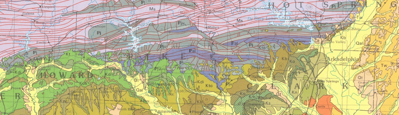
Geologic Map of Petit Jean State Park and Surrounding Area
| AGC/AGS Series | Digital Geologic Maps |
| Number Series | DGM-SPS-002 |
| Title | Geologic Map of Petit Jean State Park and Surrounding Area |
| Author (s) | Geology by B.R. Haley, C.G. Stone, 1995, and edited by Angela K. Chandler, 2007 |
| Date | 2007 |
| Scale | 1:24,000 |
| General Description |
This map displays the geologic formations exposed at the surface in Petit Jean State Park on Petit Jean Mountain to just south of Adona Arkansas. The map is a compilation of geology from four quadrangles – Atkins, Morrilton West, Adona and Perryville – that were mapped by Boyd R. Haley and Charles G. Stone through COGEOMAP, a cooperative mapping project with the Oklahoma Geological Survey and the U.S. Geological Survey. The map layout includes a correlation of map units, stratigraphic column and cross-section.
The Geologic Story of Petit Jean State Park, a separate booklet with trail maps and photos, is included when this map is purchased. This booklet includes:
*Includes: 12 pages, 20 figures, 4 trail maps |
| Availability | Yes. Paper copy or free download. |
| Price | Paper copy is $30.00 or download map for free. |
| Shipping and handling | Contact Sales Office at (501) 296-1877, for shipping and handling charges. |
| Online Version |
Download Map PDF Download Booklet PDF |